

Quick answer
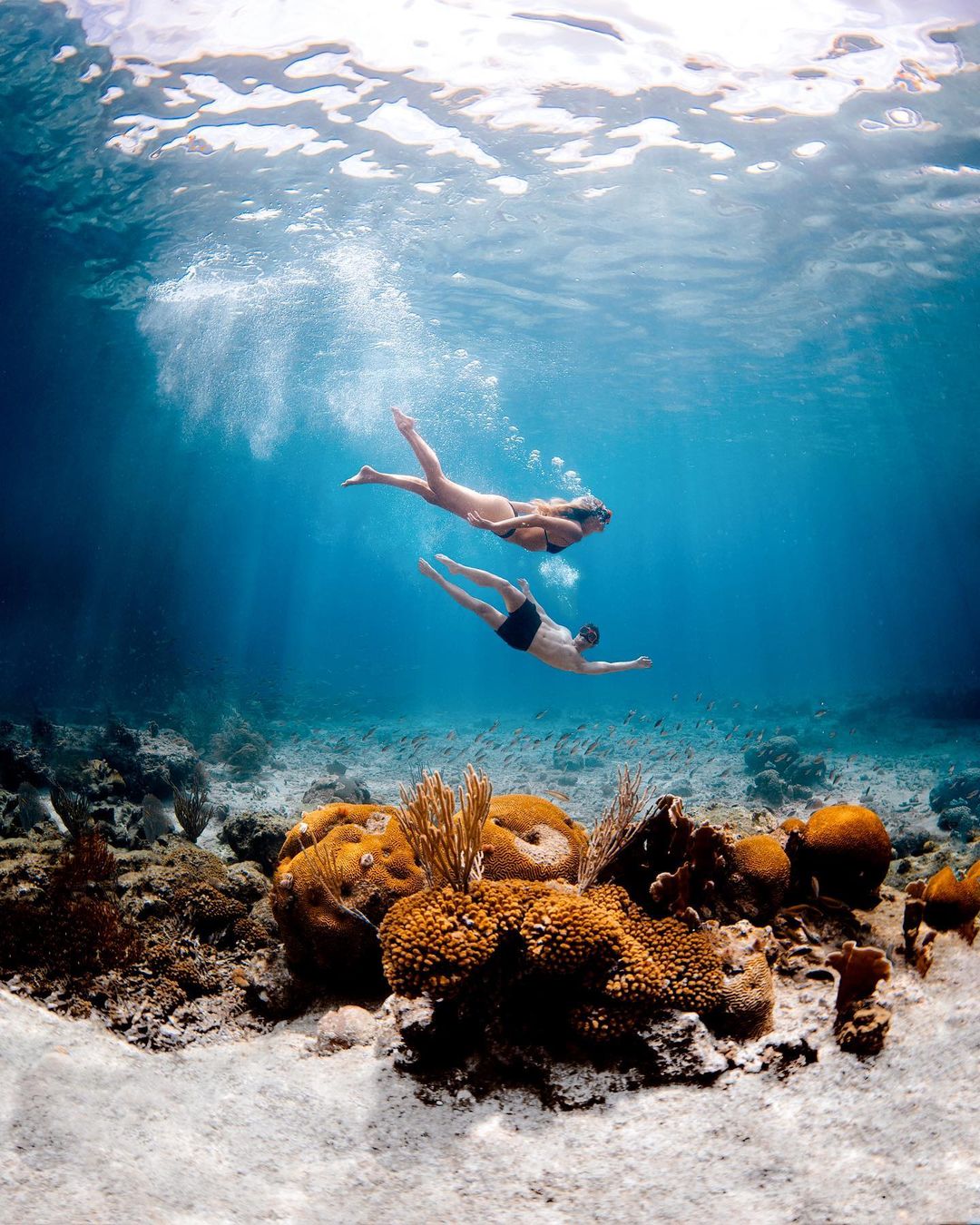
A bahamas snorkeling map divides the archipelago into four snorkeling zones: Northwest (Grand Bahama, Abaco), Central (New Providence, Eleuthera, Exuma Cays), Southern (Long Island, Acklins), and West (Andros, Bimini). Each zone contains 8–25 documented reef sites, with marine park boundaries marked by yellow buoys and GPS coordinates published by the Bahamas National Trust. New Providence holds 12 accessible shore-entry sites within a 30-mile radius; Exuma Cays Land and Sea Park protects 176 square miles of no-take reef; Andros Barrier Reef runs 140 miles along the island's east coast.
The Bahamas sit atop two limestone platforms separated by the Tongue of the Ocean, a 6,000-foot trench that divides the archipelago's snorkeling geography into eastern and western reef systems. Coral formations cluster along platform edges where tidal currents deliver plankton and nutrients. Eighty percent of the nation's documented snorkeling sites lie within three miles of shore, accessible by boat or walking entry, but reef health and visibility vary sharply between windward and leeward coasts. New Providence consolidates the highest density of mapped sites, with coordinates logged for Clifton Heritage Park, Adelaide Beach, and Goodman's Bay forming a western shore corridor. The island's south coast faces prevailing swells and shows rockier substrate; the north and west coasts shelter calmer bays with turtle grass beds transitioning into patch reefs at 10–20 feet. A bahamas snorkeling map for this island prioritizes road access and parking waypoints alongside reef coordinates. Exuma Cays stretch 130 miles southeast, with the Land and Sea Park occupying the chain's midsection. No-take regulations since 1959 have preserved brain coral heads exceeding 12 feet in diameter and resident populations of Nassau grouper. Thunderball Grotto and the Exuma Cays pilot stations mark the park's most visited coordinates, but 40 additional named sites spread across the park's western shoreline require GPS navigation and local knowledge of tidal windows. Andros remains the least-charted zone despite holding the hemisphere's third-largest barrier reef. The reef parallels the island's eastern shore from Morgan's Bluff south to Mars Bay, with depth dropping from 15 feet at the reef crest to over 6,000 feet beyond the wall. Small Hope Bay, Kamalame Cay, and Fresh Creek offer mapped entry points with moored dive operator vessels marking snorkeling lanes. The western mangrove flats hold bonefishing fame but limited snorkeling infrastructure; eastern coordinates dominate snorkeling route planning. Navigating between sites requires understanding marine park regulations, weather windows, and boat access. The Bahamas National Trust maintains boundary maps for all seven marine protected areas; crossing into no-anchor zones without mooring permits incurs fines. Prevailing easterlies determine which coastlines offer safe entry on any given day—western shores calm down during east wind, while eastern reefs turn choppy. Waterproof chart plotters preloaded with Bahamian reef coordinates eliminate guesswork, though paper charts remain standard backup for inter-island passages.
“Eighty percent of the nation's documented snorkeling sites lie within three miles of shore, accessible by boat or walking entry.”
Daily Operational Hours for Your Bahamas Snorkeling Map Visit
The Clifton Heritage National Park, a primary site on your Bahamas snorkeling map, maintains consistent daily operational hours throughout the week.
| Monday | 08:30–17:00 | |
|---|---|---|
| Tuesday | 08:30–17:00 | |
| Wednesday | 08:30–17:00 | |
| Thursday | 08:30–17:00 | |
| Friday | 08:30–17:00 | |
| Saturday | 08:30–17:00 | |
| Sunday | 08:30–17:00 |
Navigating to Your Bahamas Snorkeling Map Destination
The snorkeling sites associated with the Clifton Heritage National Park are located on the southwestern tip of New Providence. The most direct approach is by vehicle via South West Road.
Follow West Bay Street or John F. Kennedy Drive to South West Road
Direct transfer to South West Road from Nassau or Lynden Pindling International Airport
Route 12B toward Clifton Pier from downtown Nassau
Key Sub-Sights Marked on the Bahamas Snorkeling Map
The snorkeling map for Clifton Heritage National Park highlights specific underwater structures and coastal zones accessible from the shore. Use these markers to navigate the reef systems and protected areas along the coastline.
Snorkel Trail
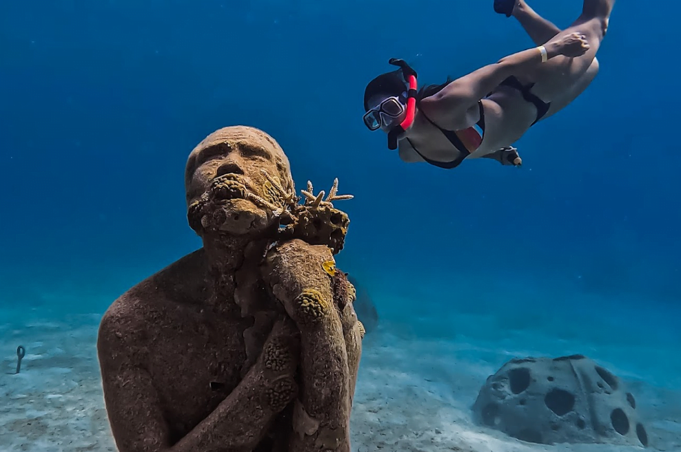
A series of underwater sculptures and artificial reef structures designed to attract marine life. Follow the marked buoys to locate each specific installation.
Follow the buoy line to keep your bearings in deeper water.
Jaws Beach
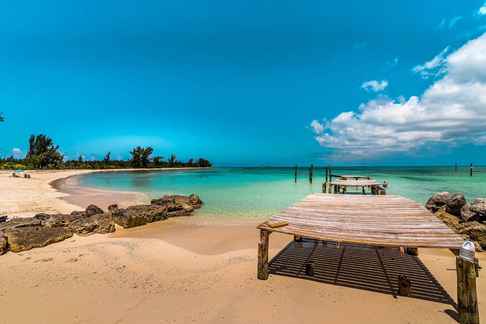
A protected, shallow cove featuring calm, clear water ideal for beginners. This area is situated within the park boundaries and offers a sandy transition into the sea.
Enter the water from the western end for calmer conditions.
The Reef Wall
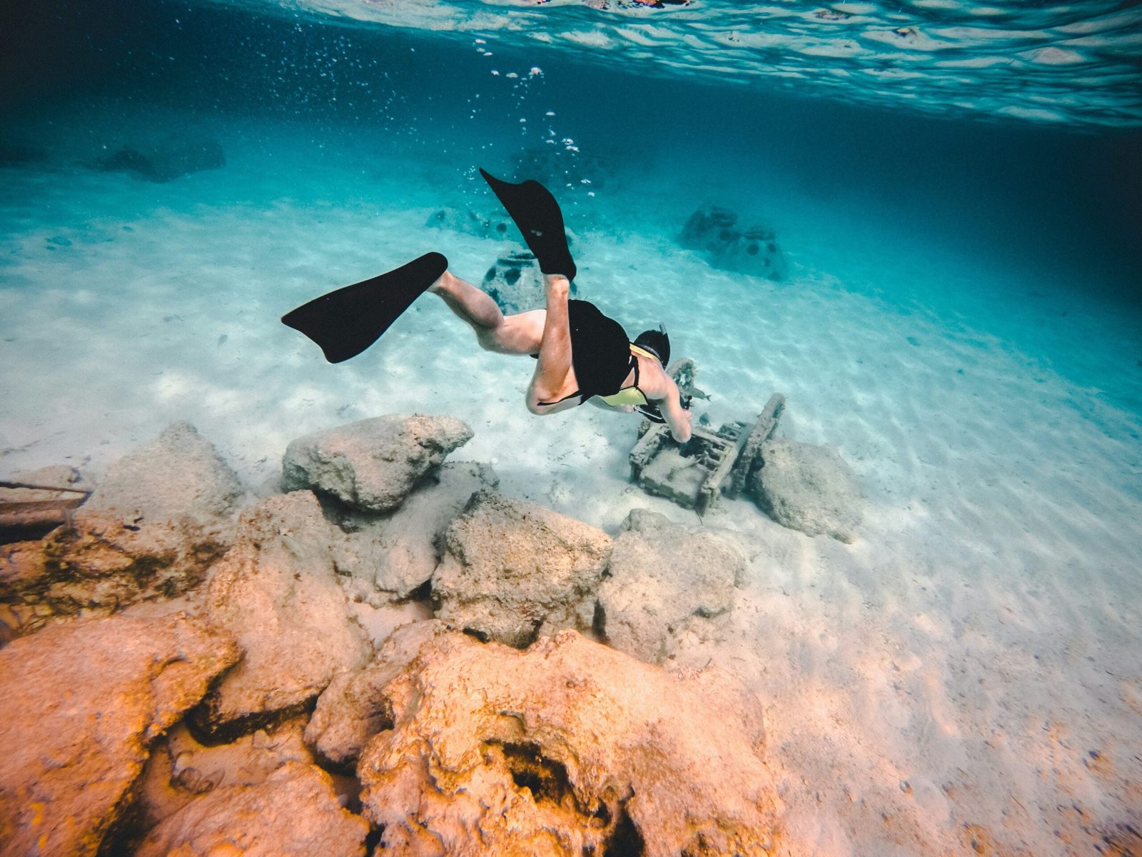
A natural limestone drop-off where the seabed transitions into deeper ocean waters. It provides a habitat for various reef fish and coral species.
Swim parallel to the shore to observe the wall edge.
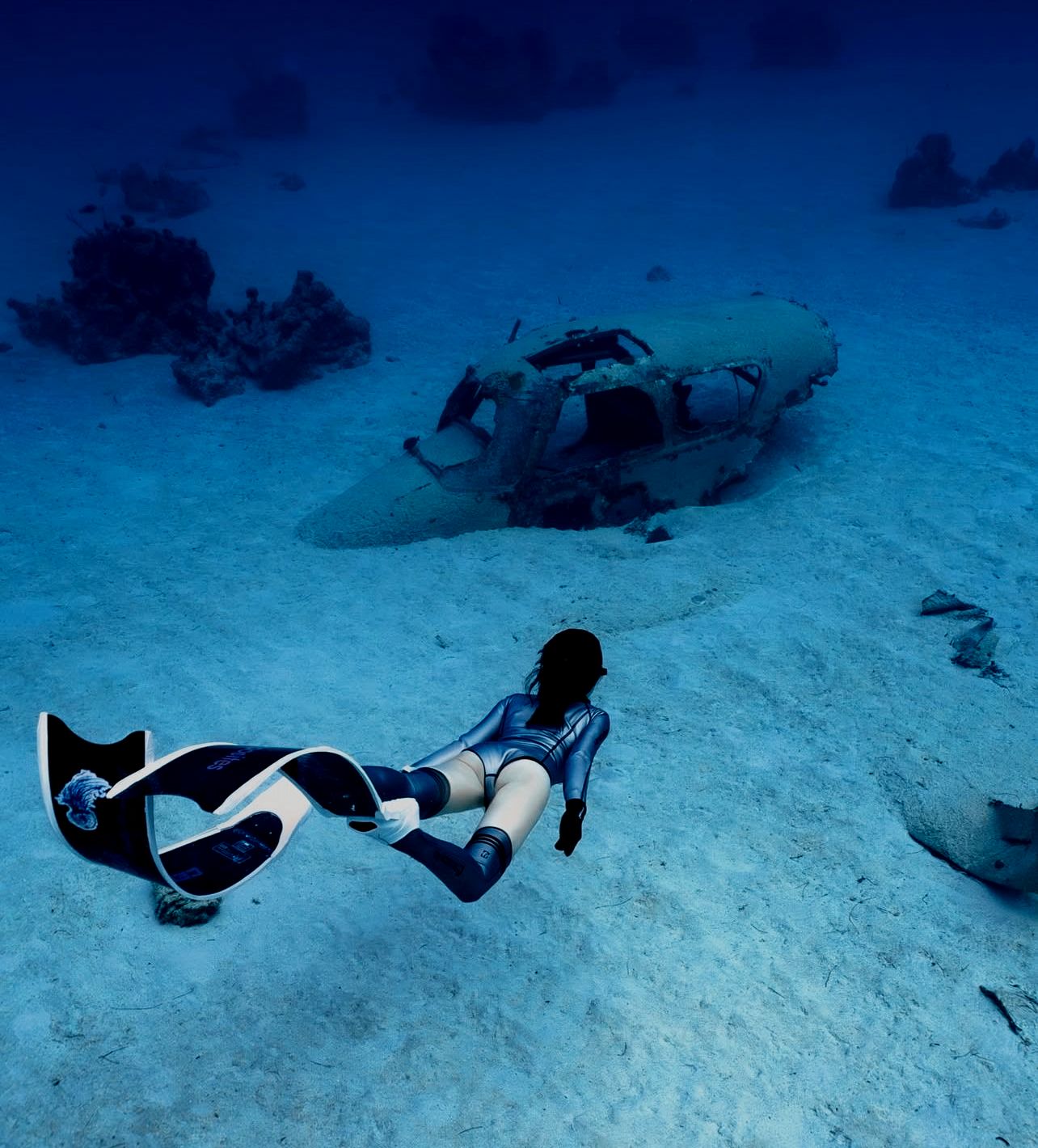
Sunken Vessel
Remains of a small shipwreck located in shallow waters that serves as an artificial habitat. Marine growth often covers the structure.
View the site during the best arrival window to minimize glare.
Bahamas Snorkeling Map Pre-Visit Preparation Checklist
Pack the right gear and confirm logistics before heading to Bahamas snorkeling sites.
-
Bring reef-safe sunscreen — Chemical sunscreens damage coral; mineral-based formulas protect both skin and marine ecosystems.
-
Pack a rash guard or wetsuit — Sun exposure intensifies on the water; thermal protection also prevents jellyfish stings.
-
Confirm your mask and snorkel fit — Ill-fitting gear floods or fogs underwater, cutting your session short and causing frustration.
-
Carry underwater-safe identification — Park staff may request ID at Clifton Heritage or marine reserves.
-
Download offline GPS maps — Cell service weakens near remote cays; offline navigation keeps you oriented.
-
Pack a dry bag for valuables — Boat spray and splashes will soak unprotected phones, wallets, and car keys.
Check availability
Frequently Asked Questions About Bahamas Snorkeling Map
Everything you need to know about bahamas snorkeling map